


Tonlé Sap Lake


Description
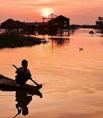
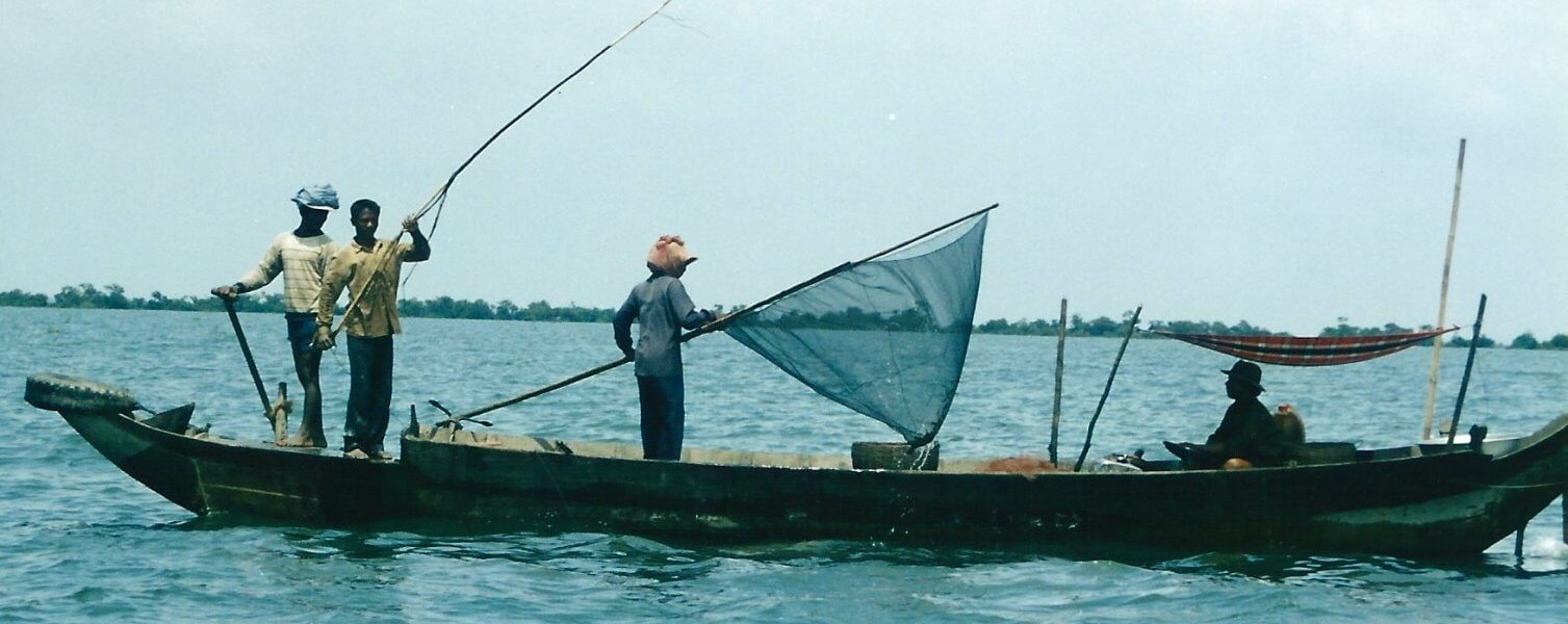
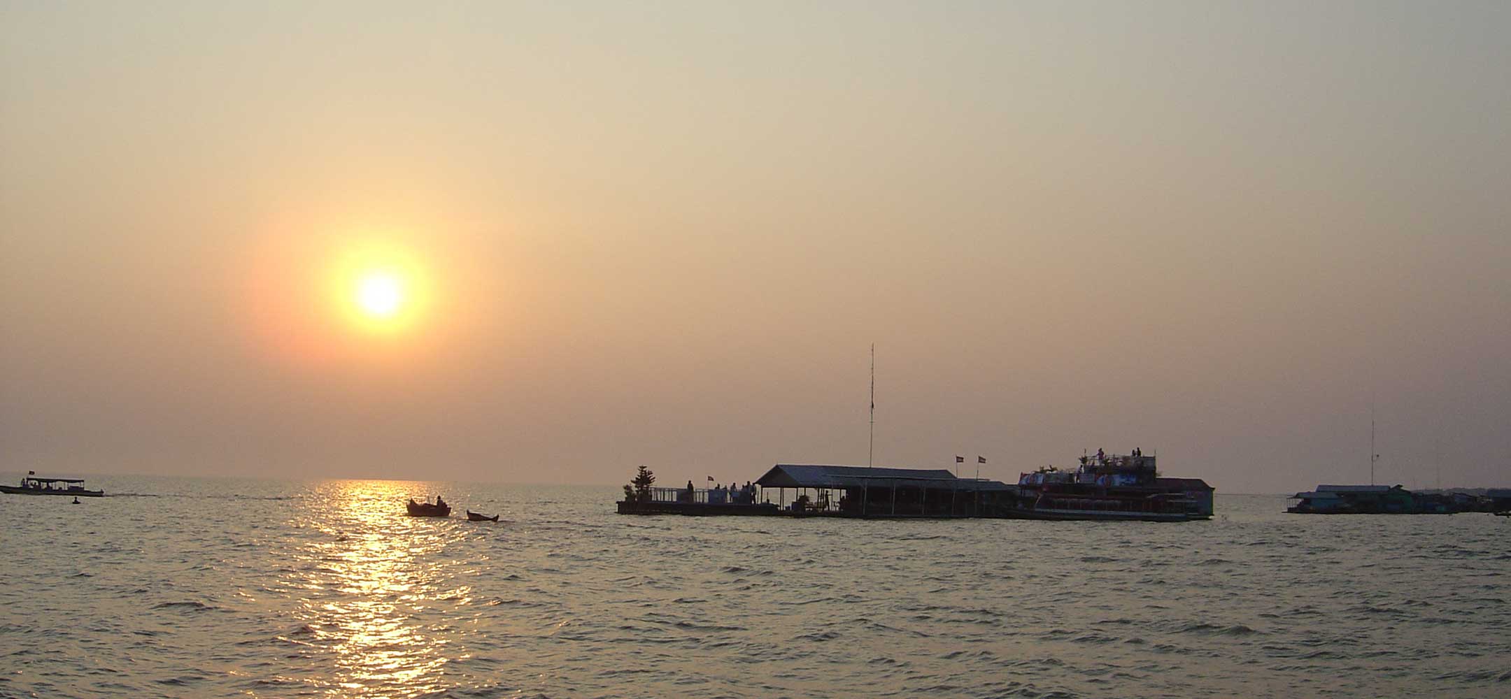
Tonle Sap, literally large river (Tonle); fresh, not salty (sap), commonly translated to 'great lake') refers to a seasonally inundated freshwater lake, the Tonlé Sap Lake and an attached river, the 120 km (75 mi) long Tonlé Sap River, that connects the lake to the Mekong River. They form the central part of a complex hydrological system, in the 12,876 km2 (4,971 sq mi) Cambodian floodplain covered with a mosaic of natural and agricultural habitats that the Mekong replenishes with water and sediments annually. The central plain formation is the result of millions of years of Mekong alluvial deposition and discharge. From a geological perspective, the Tonlé Sap Lake and Tonlé Sap River are a current freeze-frame representation of the slowly, but ever shifting lower Mekong basin. Annual fluctuation of the Mekong's water volume, supplemented by the Asian monsoon regime causes a unique flow reversal of the Tonle Sap River.
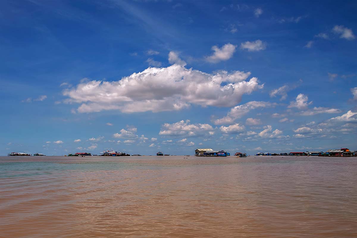
The Tonlé Sap Lake occupies a geological depression (the lowest lying area) of the vast alluvial and lacustrine floodplain in the lower Mekong basin, which had been induced by the collision of the Indian Plate with the Eurasian Plate. The lake's size, length and water volume varies considerably over the course of a year from an area of around 2,500 km2 (965 sq mi), a volume of 1 km3 (0.24 cu mi) and a length of 160 km (99 mi) at the end of the dry season in late-April to an area of up to 16,000 km2 (6,178 sq mi), a volume of 80 km3 (19 cu mi) and a length of 250 km (160 mi) as the Mekong maximum and the peak of the southwest monsoon's precipitation culminate in September and early-October.
